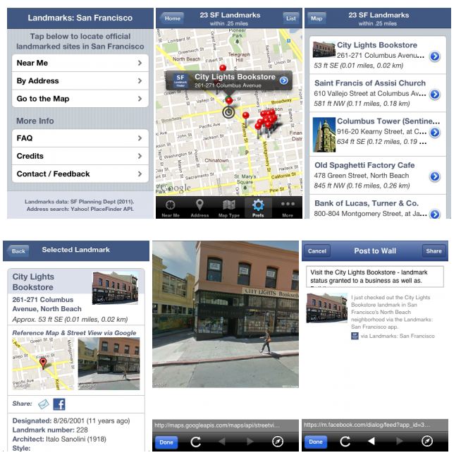
 Steve Romalewski, director of the CUNY Mapping Service at the Center for Urban Research, takes mobile applications beyond the basic information retrieval done by a tourist visiting a city, in his suite of mobile apps called Spatiality Apps. He and his team “focus on delivering interesting, detailed, unexpected information often buried in government databases.”
There are currently three mobile apps available: Landmarks: New York, Landmarks: Chicago, and Landmarks: San Francisco.
Each gives the user a new way of looking at and understanding a city.


