Part of the Center for Urban Research, the CUNY Mapping Service, directed by Steve Romalewski, “engages with foundations, government agencies, businesses, nonprofits, and other CUNY researchers to use spatial information and analysis techniques to develop and execute applied research projects.” Romalewski and his team of four build online applications that connect to powerful databases to create interactive maps.
Some examples of CUNY Mapping Service’s work include:
- Visualizing Demographic Change: NYC and other major cities
- plus detailed analysis of race/ethnicity changes in New York neighborhoods
- the Census 2010 Hard to Count nationwide mapping site;
- the Long Island Index interactive map.
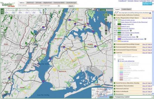
CUNY Mapping Service is also actively engaged in furthering OASIS NYC partnership which aims to provide “the richest source of community maps for New York City – free and all in one place online. OASIS is guided by a collaborative partnership of almost 60 greening groups, educators, individuals, businesses, nonprofits, and public agencies who use online mapping technology to help sustain the city’s open spaces and visualize the nexus between community greening and broader urban planning issues.”